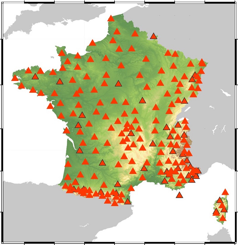
Theoretical map of the permanent broadband antenna planned for Résif
Carte théorique de l'antenne large bande permanente prévue dans le cadre de Résif
Résumé
Theoretical map of the permanent broadband antenna planned as part of the Résif project.
Résif is a national research infrastructure dedicated to the observation and understanding of the structure and dynamics of the Inner Earth. Résif is based on high-tech observation networks, composed of seismological, geodetic and gravimetric instruments deployed in a dense manner throughout France. These data make it possible to study with high spatial and temporal resolution the deformation of the ground, surface and deep structures, seismicity on a local and global scale and natural hazards, and more particularly seismic hazards, on French territory.
Résif is integrated into European (EPOS - European Plate Observing System) and global systems of instruments for imaging the Earth's interior as a whole and studying many natural phenomena.
Carte théorique de l'antenne large bande permanente prévue dans le cadre du projet Résif.
Résif est une infrastructure de recherche nationale dédiée à l’observation et la compréhension de la structure et de la dynamique Terre interne. Résif se base sur des réseaux d’observation de haut niveau technologique, composés d’instruments sismologiques, géodésiques et gravimétriques déployés de manière dense sur tout le territoire français. Ces données permettent d’étudier avec une haute résolution spatio-temporelle la déformation du sol, les structures superficielles et profondes, la sismicité à l’échelle locale et globale et les aléas naturels, et plus particulièrement sismiques, sur le territoire français.
Résif s’intègre aux dispositifs européens (EPOS - European Plate Observing System) et mondiaux d’instruments permettant d’imager l’intérieur de la Terre dans sa globalité et d’étudier de nombreux phénomènes naturels.

